
 |
By Andrew Oxley (University of Surrey) 25th July 2014 |
This last year some areas of Britain have seen some very damaging floods. Brief periods of intense rainfall can lead to flash flooding, which can cause a lot of damage to properties and even threaten lives. An advance flood warning system is important so preparations can be made to minimise the damage. To improve the predictions of these events, more accurate forecasts of heavy rainfall are needed.
It is important to understand how a weather forecast is conducted. Weather forecasting is an initial value problem, we have observed and calculated data at a certain time, and we need to integrate the equations of motion over time to produce a forecast. So, two ways to make a forecast more accurate are to increase the accuracy of our initial guess of the state of the atmosphere, and to improve the way this information is used to produce the forecast.
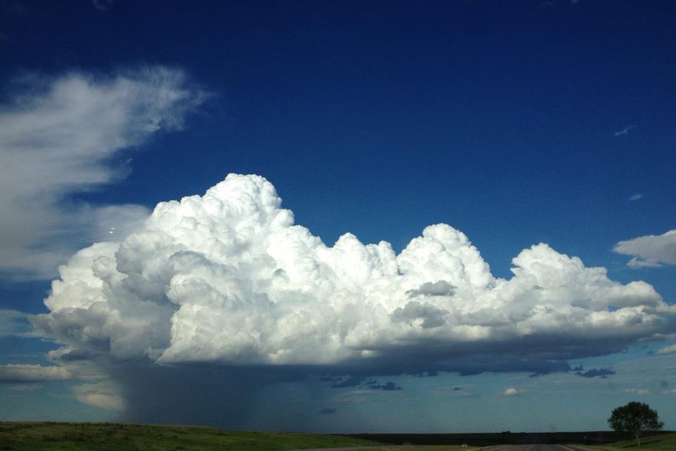
Coming from a mathematics background, my PhD is focusing on the latter. We do not have a perfect, computationally viable mathematical model describing what is happening in the atmosphere, one of the major challenges in weather forecasting is to work with the basic equations and reduce them down to systems of equations that can be used to produce a forecast. During this process we inevitably lose information, my research involves looking at models of cloud formation and growth and seeing what kind of behaviours we are missing by taking the linear, workable case, and how regime changes affect the behaviour, such as in the transition to deep convective clouds. Something which hasn’t been studied in great depth.
Currently we are revisiting work conducted by Christopher Bretherton, who derives a linear model of moist convection, and seeing what we can learn from it and how we can extend the theory further.