Antarctic temperatures, tropical research: Presenting at the QRA postgraduate conference

Between the 2nd and 4th of September, Heather and I attended the 2015 QRA Postgraduate Symposium at the University of Cambridge. As this was a conference only for PhD students, we saw this as a great opportunity to go and present for the first time in a relaxed environment and in front of a friendly crowd!

On the first day we had a guided tour of the British Antarctic Survey (BAS) headquarters. These headquarters contain research facilities, laboratories, mapping facilities, geological stores and offices that support the research activities that BAS carry out in Antartica. We saw their marine biological research aquarium, where marine creatures are kept and studied after being bought back from Antartica. The logistics of transporting these creatures made getting samples back from the Amazon seem easy! We visited their mapping department, who produce bespoke maps for the Antarctic region. The researchers on field visits are dependent on these maps, especially the pilots of the aircraft that transport people and equipment across the region to various research stations and outposts. We then nearly froze to death after visiting one of their ice core laboratories! Finally, we saw their geology store where they have thousands of rocks and fossils. Overall, it was fascinating to see the work being carried out in a different field of research to our own – though I think I’m glad of getting to work in the 30-40˚C heat of the Amazon rather than the -20˚C of Antartica! In the evening, we had an ice breaker at the Sedgwick Museum of Earth Sciences. It was quite novel to be eating and drinking wine in the company of some dinosaur skeletons.

The second day saw the start of the main conference. The conference was split into 5 sessions: 1. Ice Cores/Antartica, 2. Ocean Circulation, 3. Palaeoclimate reconstruction of UK/Ireland, 4. Palaeoclimate reconstruction of Eurasia, and 5. Palaeoclimate reconstructions of equatorial regions. We heard some really interesting talks on a wide range of topics such as reconstructing ocean circulations over 1.5 million years, reconstructing postglacial landscapes, looking at climatic impact of anthropogenic land use change, and many more! Mine and Heather’s talks were in the last session, so we had to wait till late afternoon on the second day. Although our projects are quite similar, I felt we successfully gave two complimentary presentations (and I don’t think the audience were too bored after hearing about the Amazon twice in a row!). Heather also got 2nd place in the ‘best presentation’ prize which was great!


Richard Smith

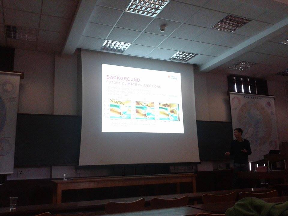
Richard at the conference talking about future climate predictions


Heather Plumpton

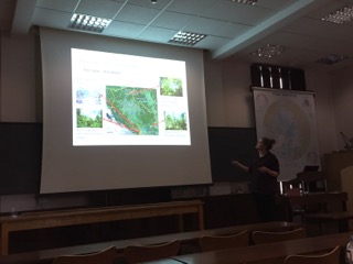
Heather talking at the conference about her sites in the Bolivian Amazon

Overall, it was a great conference to attend. It was the first time we had presented at a conference and the relaxed atmosphere made the whole experience much less stressful than it could have been. Everybody was very friendly and it’s always nice to hear about the interesting research that people are doing.


By Richard Smith

Where Palaeoecology leads us 2: A&E

Royal_Berkshire_Hospital,_Reading_-_geograph.org.uk_-_830153

Figure 1.  The Hospital, for most people, a dreaded place. For us, a place of revelation


This is the sequel to the post about “Guns” where we talk a little bit about where palaeoecology leads us when we follow our quest for investigating the past using lake/bog sediments.


An unusual patient

If you are worried about the consequences of working in palaeoecology, I can assure you that my recent visit to A&E was not because of an accident (and was not an accident either). This was a very well planned visit to the hospital to become more familiar with my beloved Brazilian patients, my bog cores.


Having taken over 110 Russian cores from numerous bogs across southern Brazil, between Frank Mayle and I (check out the Je Landscapes Project website to know more), I needed a quick non-destructive technique to visualize the internal structures of the cores so I could select the best ones for the project. I therefore decided to take x-rays of these half-metre cores. This relatively low-cost technique allows us to identify any key lithological changes through the core which are not apparent to the naked eye. The differences in density are seen in the resulting images as shades of light and dark. The lighter the colour of the image, the denser the sediment is. That is why features such as clastic material and tephra layers appear light, in comparison with organic peats which are usually dark.


So I arrived at the hospital with two oversized suitcases (Figure 2), completely filled with sediment cores (I am glad to say that I didn’t have to rush there). Carrying the cores this way allowed me to navigate easily through the labyrinthine hospital and get to the subterranean x-ray room.


20150728_170735

Figure 2. Just arrived at the Hospital


The X-ray manager was very helpful, and we worked together as a great team, with me unwrapping the cores and placing them on the plate, taking notes and hiding behind the x-ray shield; while he was pressing the button and inputting the information into the computer (Figure 3). It was a relief to be on the other side of that shield.


20150728_182624

Figure 3a. Our view to the patient. Behind the shield


20150728_182637

Figure 3b. Not sick looking, one of the bog cores being analyised


The cores just about fitted on the x-ray plate (in diagonal) (Figure 4). I am glad I checked that beforehand! If you are considering taking x-rays of your cores, its important to call the hospital beforehand to make sure they have the plate size you need. It seems that most of the x-ray facilities only have the 23cm length plate, which is no where near large enough for a half-metre Russian core.


JCFB1a_30-80

Figure 4. X-ray of one of the bog cores


I am pleased with the results. The images allow me to distinguish internal structures and therefore enable me to select the best cores (some cores look fine from the outside, but with the x-rays I can see some small gaps in the sediment). On the other hand, the lithological changes revealed by the x-rays enable me to cross-correlate overlapping and duplicate cores. A particularly useful further step is to undertake grey scale analysis of the x-ray image, which can reveal even greater detail (Figure 5), especially when correlating with XRF and magnetic susceptibility results.


AG1_0-50_greyscale

Figure 5. Grey scale analysis performed with ImageJ in one of the cores


This was my first experience of undertaking x-ray analysis of bog cores, and I must say that I am very pleased with how useful this technique has proven to be.


By Macarena Cárdenas


Anthropology, Weather & Climate Change Conference

THE ROYAL ANTHROPOLOGICAL INSTITUTE AND THE DEPARTMENT OF AFRICA,

OCEANIA AND THE AMERICAS OF THE BRITISH MUSEUM

RAI

27-29 May 2016


Aimed to understand past vegetation and its interaction with human, our group was moved to propose a panel in this conference where multiple disciplines of research as well as the private sector could come together to discuss about the environment-human relationship.


About the panel:


 Indigenous populations-vegetation-climate relationship in the past: what can this teach us about sustainable vegetation use in the present? (P31)


This panel invites multiple research disciplines and concerned private and public sectors to share evidence and discuss how knowledge of past climate change and past land use by indigenous cultures help us to understand what affects the vegetation and how this information can be used to protect it.

To know more about the conference, click here

Or contact us for more information about this panel


Panel abstract:

Threats of climate change and expanding human urbanisation makes the future of worldwide vegetation uncertain. Increasing demands of land for the growing global human population adds pressure to people and governments to protect the remaining native vegetation. Nevertheless, are the large efforts of protecting what seems to be the last places of “pristine” vegetation adequate or enough?


Understanding the impact of different factors in changing the vegetation is crucial for their protection. Although modelling is becoming a valid methodology to determine the main factors involved in vegetational change, it is still not specific enough to account for individual communities. Specific information of how the vegetation responds to climate change and human impact can be found in palaeoecological, palaeoclimatic and archaeological studies; these studies give us clues to how the vegetation responds to main factors from millennial to centennial time scales. Combining these disciplines we can also help us to understand the role that past human populations had within a specific landscape allow us to evaluate the role that past humans played in shaping the vegetation we see today.


Here we propose a discussion amongst archaeologists, palaeoecologists, palaeoeclimatologists, human geographers, anthropologists, policy makers and NGOs to share both evidence and techniques as well to discuss to what extent past cultures and climate modulated the vegetation we see today in areas considered pristine or well preserved. Special emphasis is to evaluate what can be learned about past cultures and their vegetation/landscape use to help land management and conservation today. We expect this discussion to help integrate valuable knowledge and facilitate decision making today in creating, protecting and improving endangered vegetation communities.


[subscribe2]