
By Keri Nicoll
Unmanned aircraft have been flown for leisure by model aircraft enthusiasts for many decades, but a recent surge in the development of unmanned aircraft technology means that a whole new suite of applications for this technology is now emerging. Developments in electronics and GPS navigation mean that UAVs (Umanned Aerial Vehicles, or RPA, Remotely Piloted Aircraft as they are commonly known) can now be flown autonomously with pre-programmed autopilots (although a human pilot must always be present for safety reasons). Such systems are relatively inexpensive and can be used for a wide variety of purposes including aerial photography, surveying land and animal populations and disaster management.
An area which is rapidly developing is their use as a vertical profiling tool for atmospheric science, in which they offer advantages over the traditional method of vertical profiling by weather balloons (radiosondes) in that the aircraft is recoverable (generally speaking!), and its flight path can be controlled or repeated, which is particularly useful for horizontal sampling. UAVs are particularly suited for boundary layer measurements in their ability to sample close to the ground (< 1 m) , and also for measurements in hazardous locations where it is unsafe for manned aircraft to fly (e.g. following volcanic eruptions or the release of dangerous materials).
UAV platforms take many different forms including fixed wing (i.e. traditional two winged aircraft), or multicopters (often quad – 4 rotors, or octo – 8 rotors). The copter platform is more suited to vertical profiling, and the fixed wing better for horizontal sampling. The typical altitude reached by UAVs depends very much on the individual platforms and is typically up to 3 km, but some aircraft can fly much higher. There is also a huge difference in the size of UAV platforms, ranging from the smallest fixed wing aircraft of wingspan
< 1 m (e.g. the Funjet) to the NASA Global Hawk with a wingspan of 35 m. Quite obviously the amount of payload that a UAV can carry depends on its size, therefore small UAVs (wingspan < 2 m) may only be able to carry up to 1 kg of extra weight, whereas larger systems may carry tens of kg. In the smaller UAV category, the lack of commercial availability of small, lightweight sensors is something that has slowed down the development of UAVs in atmospheric science. The Department of Meteorology at the University of Reading is currently developing a variety of small, low cost atmospheric science sensors which can be used on free balloon or UAV platforms. These include sensors for solar radiation, cloud and visibility, electrostatic charge, and energetic particles, several of which have been successfuly flown on small fixed wing platforms including the Funjet and Easystar aircraft (wingspan < 2 m – Figure 1, Figure 2).
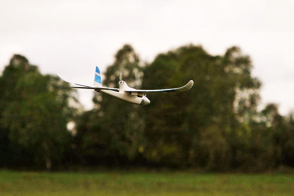
Figure 1: Easystar fixed wing UAV (< 2 m wingspan)
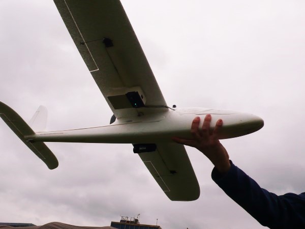
Figure 2: Easystar aircraft instrumented with University of Reading sensors
Although UAVs have many advantages for atmospheric science profiling, there are several difficulties with their use at the moment, mostly associated with airspace regulations and safe flying. The issue of how to integrate UAVs into open airspace, which is shared with manned aircraft, is a long-standing problem as UAVS typically do not possess “sense and avoid capability”, therefore at the moment their use must be segregated from manned aircraft. In the UK, the Civil Aviation Authority (CAA) issues a number of regulations regarding the use of UAVs, which are classed as small unmanned aircraft under 20 kg. Such UAVs can legally fly within visual line of sight and no more than 400 ft (~ 120 m) vertically above the pilot, in uncongested areas. Permission from the CAA is required for flights outside these areas and for commercial operations, or camera/surveillance operations within congested areas. Although regulations are required to ensure the safety of the general public, there is a general consensus within the UAV community that the current regulations are rather prohibitive, particularly in the case of small UAVs and their use in atmospheric profiling. Recently, international networks to advance the use of UAVs for atmospheric science have been created, including a European Cost Action, ES0802 and an International Society for Atmospheric Research using Remotely piloted Aircraft (ISARRAA). A training network has also been established in the UK through NERC research council funding. Such activities are developing the profile of using UAVs for atmospheric science as well as helping to establish the legislative framework surrounding their operation in UK airspace.