
New licence agreements
From 1 August, Digimap (our online map and spatial data delivery service) will implement new licences. The first time you log in after this date, you will need to agree to the new licences before you can access the service. Log in as usual and follow the prompts – there’s no need to re-register your details.
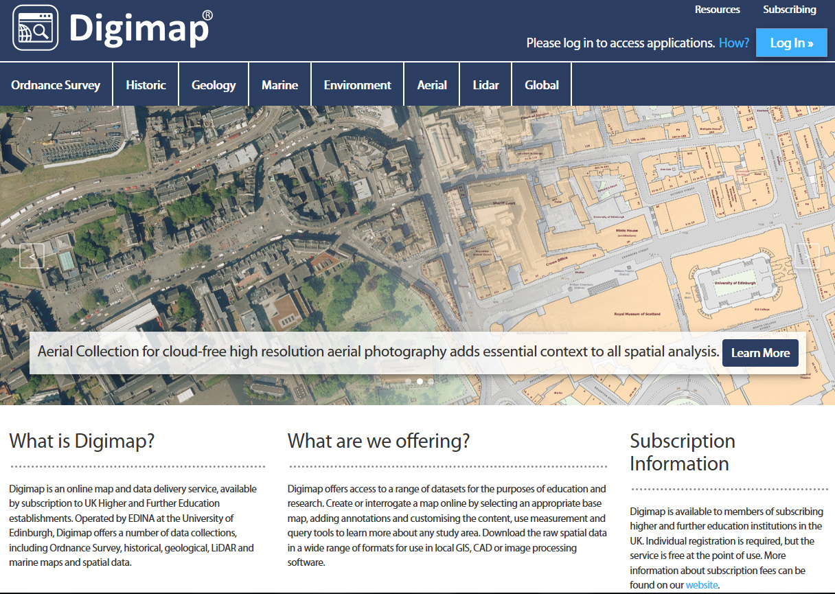
New look
When you log in, you will see that Digimap has a new look. The homepage has been refreshed, while retaining the easy access and functionality of the old page.
As with the current homepage, login is possible either using the ‘Log In’ button in the top right corner or by accessing each Roam or Data Download application directly (see the ‘Geology Roam’ and ‘Geology Data Download’ example below:

More information about the maps and data in each collection is now given, and there is also more detail on how to access the maps and data and easier links to Help information.
New resource – Marine Digimap
As part of the new licensing agreement, we now have access to Marine Digimap. This has two types of data:
- Nautical charts – derived from UK Hydrographic Office paper charts
- Marine themes – including elevation, shipwrecks, aquaculture areas, windfarms and navigational features
Marine Digimap could be useful for offshore engineering projects, management of marine and coastal environments, marine ecology studies, environmental impact assessments and tourism.

Judith Fox, Map Librarian