World-leading weather scientists from the University of Reading have been following the path of one of the biggest storms to hit the South of England for several years. High winds and heavy rain battered southern parts of the UK, causing travel disruption to Monday morning commuters. Here, some of our scientists explain what was going on.
Dr Helen Dacre has been following the development of the storm and said: “Forecasters have learnt important lessons since the Great Storm of 1987, both in terms of the atmospheric physics, and in how to communicate warnings to the public. Better forecasts meant that the emergency services, transport bosses, employers and the public were given every chance to prepare. The fact that the Met Office was pretty accurately predicting the path and scale of this storm and issuing advance warnings on Thursday last week show that meteorology has made huge advances since 1987. These days, the Met Office uses more than 10 million observations a day, and we no longer have the same lack of data from the North Atlantic that previously caused problems for forecasters. Today, four-day forecasts are as accurate as one-day forecasts were in 1987.”
Dr Roger Brugge has been monitoring the situation at the University of Reading’s own atmospheric observatory. “There were some strong gusts of wind across Southern England, with gusts of up to 99mph on the Isle of Wight. Elsewhere strong gusts of 80mph appear to have brought down trees, causing travel problems for many commuters,” he said.
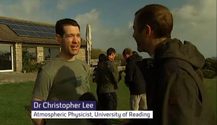
Over the weekend, Dr Rob Thompson & Dr Christopher Lee were interviewed by Channel 4 news during the MSc Dorset field course ‘Experiencing the weather’ where they launched weather balloons with the MSc students to watch the storm evolve.

