
By: Rob Thompson
One of the most frequently viewed pages on weather apps is the radar imagery. We see them on apps, websites and TV forecasts, and have done for years. But rarely do we see much about what we are seeing, and that’s going to change, now.
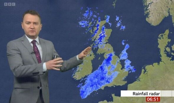 Figure 1: Matt Taylor presenting the radar on the BBC (image source: BBCbreakfast)
The radar maps we see are actually a composite of data taken from 18 different weather radar facilities scattered around the UK and Ireland. The radars are mostly owned by the Environment Agency and MetOffice, operated by the Met Office, though data sharing also gives us data from Jersey Meteorological Department and Met Éireann radars. Each radar is very similar, they send out pulses of microwaves (they have wavelength of 5.6cm) and measure the length of time to get a returned signal from the target precipitation (rain, but also snow, hail, etc. – even flying ants) essentially the same way radar detects aircraft or ships. For the bulk of weather radar’s history, this is what we got, a “reflectivity” which “sees” the rain, and we convert that to a rainfall rate with assumptions on the sizes and numbers of raindrops present (while on the subject of radar and seeing, take a look at the source of the well known “fact” that carrots make you see in the dark). During the 90s and 00s the radars began to also detect the wind from the motion of the drops being detected, which helped, but the data quality remained a problem. It was very difficult to know the source of any power detected, was that power caused by heavy rain? The radar beam hitting the ground? A flock of birds? Or interference? Techniques were used to do our best at finding the power from hydrometeors (rain drops, snow flakes, hail … basically falling water or ice), but they were far from perfect.
But given coverage and software have improved since the first radar was installed in the UK in 1974, why do I think that right now is “the golden age of radar”? The answer is a recent technological leap taken across the UK (and many other worldwide) radars, which was completed in 2019. The new technology uses polarisation (like in glare reducing polarised glasses for driving, fishing etc.) of the microwaves to learn much more information on the particles we are viewing. This means that as well as an overall power of the return, the differences between waves oscillating in the vertical, or horizontal can tell us information on the shape and size of the drops, snow flakes, etc. we view. This means the radars tell us far more about what they are detecting than they did a decade ago, and that means the algorithms for the rainfall maps we see are far better.
 Figure 2: New Weather Radar Network infographic (image source: MetOffice)
We have measurements that detect the shape of the drops – a raindrop is not the tear shape as classically drawn, but small drops (smaller than about 1mm) are spherical, the become more smartie shape as they get larger, falling with the large circle downwards – which tells us how big they are. Some time spent in the front seats of a car will tell you that rain isn’t all the same, sometimes there are a few large drops, other times there are few large drops, but huge numbers of small drops, the radar can now tell the difference. Knowing how real rain, snowflakes, hail but also, birds, insects, aircraft, interference, the sea or the ground appear in the various available radar observations means that the radar network is now able to do a much better job of determining what is a genuine weather signal, and what should be removed – this has hugely reduced the amount of data the network losses and means the network can also detect lighter rainfall. Interference (which causes radar blind spots), has the potential to prevent the radar observing heavy and dangerous rains (such as cause flash flooding), can be traced, which can help prevent it from continuing.
Finally, there’s the actual rainfall rates derived from the radar network. There’s no other way to view a wide area of rainfall on a scale as small as radar can (one kilometer – just over half a mile – squares), and now, with the new radars, the rainfall rate estimates are more accurate than ever before. In the presence of the heaviest rains, with the potential for dangerous flash flooding, the old radars would struggle the most, sometimes failing to see rain at all (see figure 2). The new radar measurements are utilised to improve the rainfall rates, overcoming many of the challenges of the past, helping with a number of potential issues to get accurate rainfall information in near real time.
 Figure 3:Heavy rain missed by radar in July 2007.
These are just the things in place now, but there is much more to come and more research to be done. Improvements on detecting the type of precipitation are being developed, corrections to handle the melting of snow (much UK rain falls as snow high above us). New methods of interpreting the data are being considered, and more uses, such as automatic calibration and detection of blocked beams, with more direct use of the radar for initiating weather forecast models being implemented.
It’s a time of huge and rapid improvement for UK weather radar observations and to me, that makes this the golden age of weather radar.